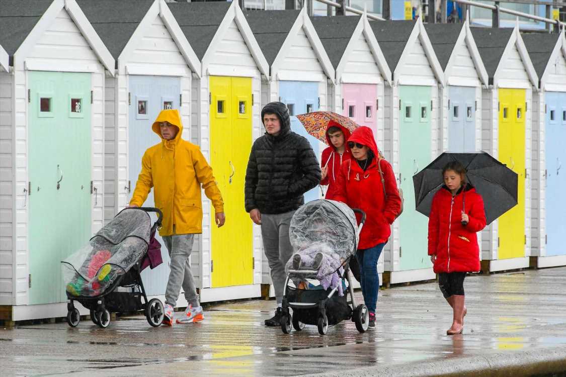
TORRENTIAL rain and 60mph winds will batter the UK over the next two days before another weekend washout.
Brits have already been left soaked in a "wetter than average" May – and are set to be hit with even more downpours and strong winds with a yellow weather warning issued for the rest of the week.


More than a month's worth of rain has already lashed the country in the past two weeks – just as the lockdown rules have started to lift.
And the Met Office has now warned winds of up to 60mph in coastal areas are expected to hit southern Wales and southern England from Thursday to Friday.
The blustery weather could bring down tents and marquees and there's a chance of some travel disruption, forecasters said today.
On Thursday, the heaviest rain will hit Northern Ireland, southern Scotland, northwest Wales and northern England – with up to 70mm expected in places.
And the soggy weather is set to continue for most of the UK on Friday and over the weekend.


"The low pressure system moving in from the west is going to bring some heavy rain across much of the UK from Thursday and into Friday," the Met Office's chief meteorologist Dan Suri said.
"With wind looking to be strongest in southern coastal areas, including south Wales, there’s a chance of some disruption to travel plans and potential damage to temporary structures, such as tents and marquees."
But, in a glimmer of hope, the Met Office said drier conditions should return from Tuesday – with a chance of temperatures climbing to more typical figures for this time of year.
"There are some glimmers of hope in the forecast into next week, with more settled weather possible from Tuesday," Suri added.
"In areas of prolonged sunshine, we should be seeing some quite pleasant conditions, but night temperatures will continue to stay stubbornly low."
Met Office meteorologist Craig Snell told Mail Online that there was a "lot of rain this week to get through before slightly warmer temperatures creep in later in May".


"It will certainly be warmer than it is now – but not much to write home about," he said.
The wet weather has been relentless this month, and despite only being half way through May, 2.8 inches of rain has fallen across the UK on average.
Wales has already seen at least 25 percent more rain than would be expected over the course of the whole month of May.
"Although it’s not unusual to see some downpours and cooler temperatures in May, the month so far has been particularly unsettled across the UK as the influence of low pressure systems has taken hold," Dr Mark McCarthy, scientific manager of the National Climate Information Centre, said.
"May picked up where April ended with cooler temperatures and unsettled weather for many, especially in northern England and Wales."
BETS ON BLEAKEST MAY
He added: "It’s far too early in the month to talk about any potential records being set, but with rain in the current forecast, it seems likely that we’ll see above average rainfall across large parts of the country by the end of the month."
The wettest May on record was in 1967, when 5.2 inches of rain fell in total.
Bookies are already taking bets that it'll be the bleakest May on record – with poor weather expected again in June.
This time last year the country experienced its sunniest spring and driest May since records began.
Met Office meteorologist Sarah Kent warned Brits not to put their raincoats away yet – and said the month has been a "shock to the system" after an unusually dry April.
"It has really been very wet – nearly all of April's showers have turned up in May," she said.
Bolton has been hit with knee-deep flooding following heavy downpours.
And Greater Manchester Fire and Rescue Service warned people to stay away from areas worst hit by the flash floods, including Horwich, as they worked to tackle the rising water level.
Source: Read Full Article