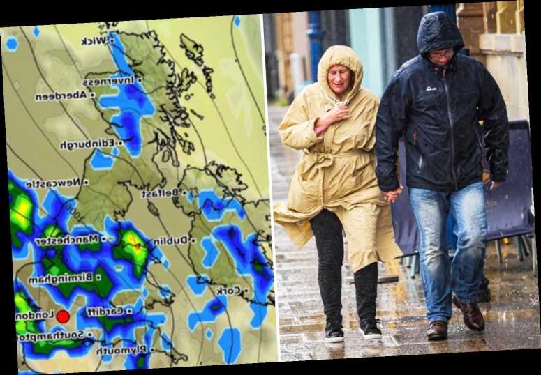
STORM Francis may have passed, but more rain is still expected to fall – but warmer temperatures are just around the corner.
The 700-mile wide storm battered Britain with near 80mph winds, heavy downpours and some of the worst summer weather for 50 years.
Storm Francis has now cleared to the East and the violent winds Brits experienced are now easing.
Brits are feeling a small respite in the weather today, but it will not last long as low pressure left by the storm will bring more rain.
Many can expected a drier weekend with temperatures remaining below 20.
However, temperatures are expected to climb back up the 20s at the start of September hopefully bringing one last stretch of warm weather before autumn.
It comes after a number of places in England and Wales have recorded their highest-ever winds in August.
The Met Office said winds of 74mph have been recorded at Lake Vyrnwy in Powys, Wales – the highest in August there since 1994.
Aberdaron in the Welsh county of Gwynedd has recorded gusts of 71mph, the highest since 1996.
Gusts of 68mph were recorded at Pembrey Sands, 52mph was recorded at Shobdon in Herefordshire, and 49mph was recorded at Pershore in Worcestershire.
Storm Francis was upgraded to an Amber Weather Warning yesterday afternoon, with the Met Service saying that a danger to life was "likely".
Forecasters predicted heavy rainfall as more than 80mm of rainfall in the Lake District.
More than 500 homes lost power in Gloucestershire yesterday due to the high winds.
There were reports of more than 40 trees down across the county.
More than 120 homes faced power cuts in the West Country by 6am this morning.
Dozens of villages in Devon and Cornwall were warned that 90mm of rain falling during the storm.
Cops had said roads could turn into "lakes" and have warned drivers to take care behind the wheel.
Source: Read Full Article


