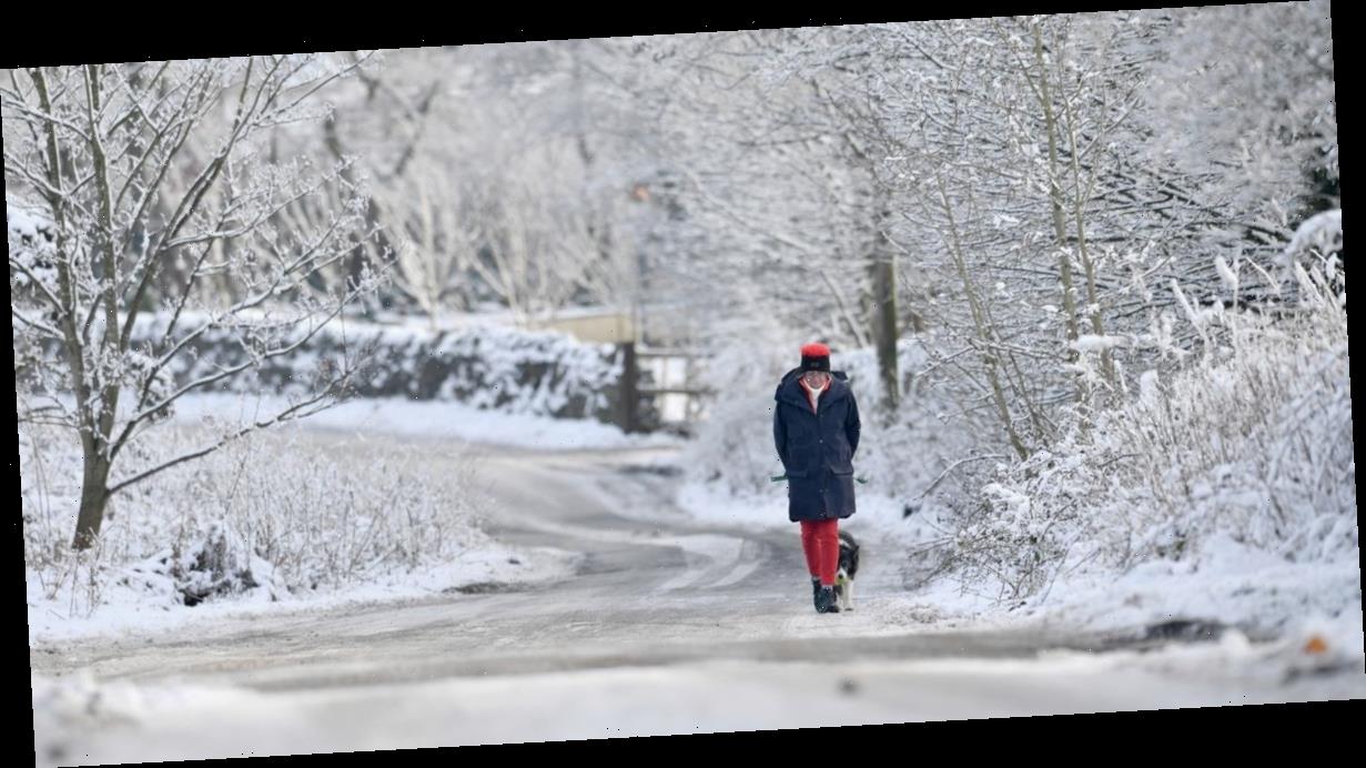
Britain is braced for a cold snap which will bring freezing temperatures and flurries of snow across stretches of the country.
As the weekend arrives so to will a surge of high pressure, prompting much calmer but colder conditions across the UK.
On Saturday night temperatures will drop to freezing in London and across England.
And in parts of Wales and Scotland they could drop to as low as -5C on Sunday, with -3C temperatures likely in Northern Ireland.
The following day things will get brisker still, with temperatures in the south and midlands comfortably dipping below the freezing mark.
Once they do, the chance of snow is significantly increased.
-
Single mum, 26, killed in crash after speeding Plenty Of Fish date hit bollard
-
Blood-soaked house of horrors 'where teenage boy, 17, was decapitated' by gangsters
"There is going to be a big change in the weather this weekend with high pressure arriving bringing much calmer but colder conditions," Met Office forecaster Bonnie Diamond told MailOnline.
"Overnight temperatures could dip widely to or below freezing and there will be the risk of showers along eastern coasts. As we enter a north-easterly flow, there will be a risk of snow showers along the coasts.
"Next week, high pressure over southern and central regions will bring more settled weather while the north could turn more unsettled again with a risk of showers and strong winds."
-
Bride told she had 3% chance of walking again defies doctors to walk down aisle
From Tuesday next week the south is forecast to be frosty and foggy in the morning, with a few sunny spells breaking through the clouds.
In Northern Ireland and Scotland outbreaks of rain are likely.
The cold snap will continue as the week goes on, particularly across central and southern areas of the UK, where frosts will develop overnight.
Towards the end of the month the north and northwest may become more unsettled with the arrival of wetter and windier weather.
Although it is some way off yet, the cold and the rain is not likely to abate as February begins.
"Through the end of January and into February, high pressure looks most likely to dominate across the UK, especially in the south," the Met Office forecasts.
"Looking further ahead, we may see a north/south split developing.
"The north and northwest will probably see the wettest and windiest weather whilst further south and southeast, it should be drier and brighter with frost and fog likely overnight.
"During colder, showery interludes, any snow will most likely be over higher ground in the north, but it could fall to lower levels at times.
"Temperatures will remain close to or above average through the period, though will likely fluctuate as frontal systems pass through.
"There could be some colder spells in southern and central areas, should any more prolonged settled spells develop."
Source: Read Full Article


